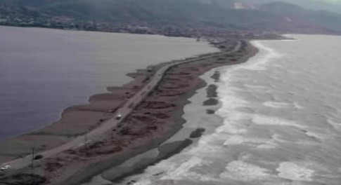
The Federation of St. Kitts and Nevis is a twin island state with a combined area of 268 km2. The country has historically been exposed to multiple natural hazards including hurricanes, earthquakes, volcanic eruptions, landslides, and floods. Particularly, two roads have been determined as priority for rehabilitation by the Government. The Old Road Highway, where unstable slopes and the gradual deterioration of the road have been observed, and Bay Road/Fortlands Road, where the sea contributes to the deterioration of the roadway and associated sea wall.
CEAC was commissioned to evaluate and quantify the susceptibility of the coastal road network in St. Kitts and Nevis against climate variability/change and various geophysical hazards. This included infrastructure, environmental, social and coastal assessments of the environs. Technically and economically feasible rehabilitation designs were then formulated with aims of strengthening the resilience of the coastal roads.